Introduction
What Is 3D Laser Scanning?
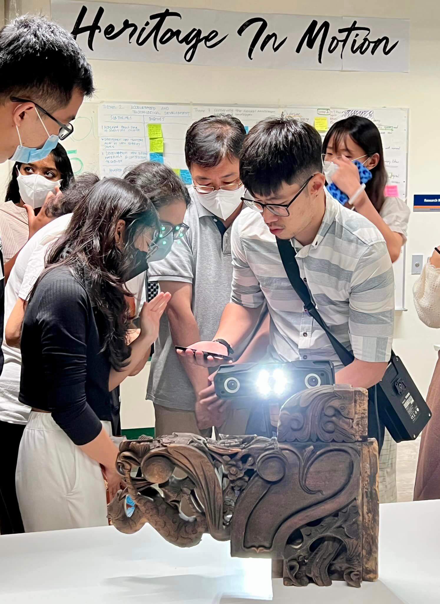
3D laser scanning is a technology that uses lasers to create a digital model of a physical space or object. It involves the use of a laser scanner, which is a device that emits a laser beam and measures the distance to the surface of the object being scanned.
As the laser scanner moves around the object or space, it captures millions of points, known as “points cloud,” which are used to create a detailed, three-dimensional representation of the object or space.
What Equipment Is Required?
3D laser scanning involves the use of specialized equipment to capture and process the data needed to create a digital model of a physical space or object. The main equipment required for 3D laser scanning includes:
- Laser scanner: A laser scanner is a device that emits a laser beam and measures the distance to the surface of the object being scanned. It is the primary tool used to capture the data needed for a 3D laser scan.
- Software: 3D laser scanning requires specialized software to process the data captured by the laser scanner and create the digital model. This software can be used to analyze, edit, and manipulate the data, as well as to create visualizations and other outputs.
- Computer: A computer is typically required to run the software and process the data captured by the laser scanner.
- Tripod: A tripod is often used to stabilize the laser scanner and help ensure that it is level and properly positioned.
- Accessories: Depending on the specific needs of the project, additional accessories may be required, such as a power supply, cables, storage media, or protective cases.
Overall, 3D laser scanning requires specialized equipment and software to capture and process the data needed to create a digital model of a physical space or object.
The Challenges In Conventional Measuring Techniques
There are several difficulties that can arise when using traditional measured surveying methods in construction. Some of the main challenges include:
- Time and cost: Measured surveying methods can be time-consuming and costly, especially for large or complex projects. They require specialized equipment and trained personnel, and the process of collecting and analyzing data can be labor-intensive.
- Inaccuracy: Traditional surveying methods can be prone to errors, which can lead to inaccurate measurements and plans. These errors can occur due to a variety of factors, such as human error, equipment malfunctions, or environmental conditions.
- Limited scope: Traditional surveying methods may only provide a limited view of the construction site and may not capture all of the relevant data needed for the project. For example, they may not be able to accurately measure certain features, such as underground utilities or buildings that are not visible from the surface.
- Safety concerns: Measured surveying can be dangerous, especially when working in challenging environments or on large construction sites. There is a risk of falls, accidents, and other injuries, which can impact the safety of the surveyors and the overall project.
Overall, traditional measured surveying methods can be effective for certain types of construction projects, but they may also present a number of challenges and limitations that need to be taken into account.


